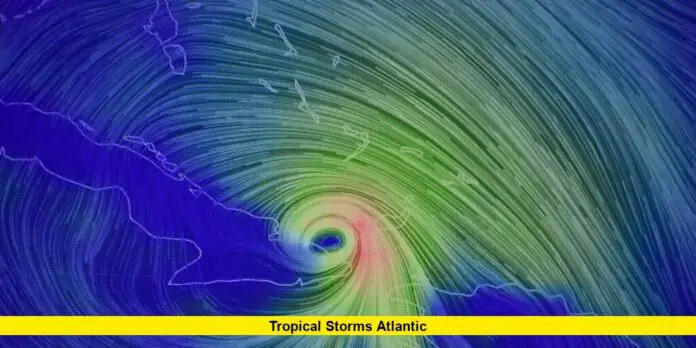
Tropical storms Atlantic have been at the forefront of weather alerts as we enter the peak of the 2025 hurricane season. With four named storms already recorded—Andrea, Barry, Chantal, and Dexter—the Atlantic remains under close watch as meteorologists predict a surge in activity through August and beyond.
Table of Contents
An Active Start to the 2025 Season
Since the official beginning of the Atlantic hurricane season on June 1, the region has seen consistent early developments. The first tropical storm, Andrea, formed late in June, slightly behind the average pace. Barry quickly followed, making landfall in Mexico, while Chantal brought brief heavy rains to South Carolina in early July. Most recently, Dexter emerged off the North Carolina coast in early August, marking the latest addition to the list of named systems.
What Are the Forecasts Saying?
The National Oceanic and Atmospheric Administration (NOAA) has updated its seasonal outlook, now predicting an above-normal season with a 50% chance of more storms than average. The latest forecast expects 13 to 18 named storms with five to nine likely becoming hurricanes and as many as five predicted to strengthen into major hurricanes (Category 3 or higher). These numbers reflect slight adjustments from earlier predictions, but experts remain confident that the next few weeks could be significantly more active.
Here’s a quick look at the season so far:
| Storm Name | Formation Date | Impact Area | Status |
|---|---|---|---|
| Andrea | June 24, 2025 | Central Atlantic | Dissipated |
| Barry | June 28, 2025 | Mexico (Tampico) | Dissipated |
| Chantal | July 4, 2025 | South Carolina | Landfall |
| Dexter | August 4, 2025 | North Carolina | Moved offshore |
Meteorologists Warn of Increased Threat
Weather experts are closely watching several tropical waves, especially one near the Cabo Verde Islands. Current models suggest a high probability that this disturbance will strengthen within the week, likely becoming Tropical Storm Erin, and possibly the season’s first hurricane. Scientists highlight favorable conditions such as warm sea surface temperatures, minimal dust, and weak upper-level winds—classic indicators that storms could intensify as they track westward across the Atlantic.
- Key regions at risk: Caribbean, Bahamas, Dominican Republic, Bermuda
- Average first hurricane date: August 11
- Computer guidance: Signals heightened activity through the remainder of August
Factors Driving the Storms
Multiple elements shape the evolution of tropical storms Atlantic:
- Saharan Dust: Early in the season, dry air limited cyclone formation.
- Ocean Temperatures: Exceptionally warm waters are now primed for rapid storm development.
- Atmospheric Patterns: Shifting high pressure and wave interactions are steering systems toward the Caribbean and North America.
What’s Next on the Radar?
With climatologists and meteorologists anticipating the Atlantic’s first hurricane this week, all eyes are on developing systems and their projected tracks. The next several days could see Erin form, followed by Fernand if conditions remain favorable. Increased vigilance is recommended for coastal communities as the season enters its critical phase.
Recent updates to watch for:
- New tropical waves emerging every few days from Africa
- Potential development north of the Caribbean by next weekend
- Real-time guidance from the National Hurricane Center and local meteorologists
Atlantic residents and anyone with interests in the region should keep monitoring official advisories. The tropical storms Atlantic continue to shape the season’s outlook, and developments are expected rapidly. What do you think about this year’s storm activity? Share your thoughts or current local conditions below to help others stay prepared and informed!

