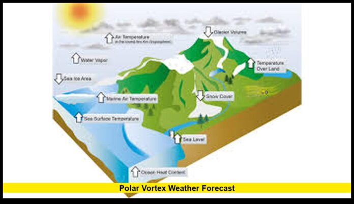
The latest polar vortex weather forecast shows that the circulation over the Arctic is weakening while a warming event in the upper atmosphere is taking shape. This development is raising the likelihood of colder temperatures spreading into parts of the United States as November nears its end and December approaches.
Table of Contents
Understanding the Current Polar Vortex Pattern
The polar vortex is a large mass of low-pressure cold air that circulates high above the Arctic. It exists year-round but becomes stronger in winter. When the vortex stays compact and strong, the cold air remains locked near the North Pole. When it weakens or becomes distorted, frigid Arctic air can spill south into mid-latitude regions, including the U.S.
Meteorologists are now monitoring a shift happening in the stratosphere. The vortex has begun showing signs of weakening and drifting slightly off its central position over the pole. These changes are often associated with colder-than-normal conditions across the northern U.S., especially when patterns persist for several weeks.
Another key event being observed is sudden stratospheric warming, where temperatures high in the atmosphere rise quickly. This warming disrupts the vortex and can reverse upper-level winds. When that process moves downward through the atmosphere, winter storms and strong cold fronts become more likely.
Forecast Models Show a Shift Toward Colder Conditions
Recent long-range weather model output shows a noticeable pattern change developing over North America. Several trends are emerging:
- A higher chance of below-average temperatures across the northern U.S. during the next few weeks
- Increased potential for Arctic air outbreaks especially in early December
- A jet stream pattern showing deeper troughs across the Midwest and Northeast
- Greater likelihood for bursts of snow in regions already prone to early winter storms
The timing of this shift is notable. It is occurring earlier than typical in the cold-season setup, which may point toward a more active start to winter.
Regional Temperature and Weather Impact
The weakening polar vortex could affect regions differently. Here is the outlook based on current atmospheric signals.
Northern Plains and Upper Midwest
This region may experience stronger cold snaps first. These states are positioned directly in the typical path of Arctic air when the vortex weakens. Temperatures may run below seasonal averages, and snowfall opportunities could increase.
Great Lakes and Northeast
Colder conditions are becoming more probable with the evolving pattern. Lake-effect snow may also strengthen as colder air flows across warmer lake waters. Coastal areas may also see increased storm development depending on the jet stream alignment.
Rocky Mountains and Pacific Northwest
These regions may see alternating periods of chill and milder Pacific-influenced weather. Snowfall in mountain regions could become more consistent as winter storm tracks shift south and east.
Southern and Central U.S.
While these areas are less directly affected, temperature drops may still occur. If the polar vortex disruption deepens, even southern states could experience brief cold spells and potential winter precipitation.
What This Means for the Winter Season Ahead
A weakened vortex does not automatically guarantee severe cold, but patterns like the one developing now have historically aligned with colder and more storm-prone U.S. winters.
Key indicators suggest:
- Increased potential for Arctic cold fronts
- Higher frequency of winter storms in northern and eastern regions
- More temperature swings due to a wavy jet stream
- Possible early arrival of winter conditions in some states
Meteorologists are watching whether the vortex continues weakening and whether the warming event progresses downward through the atmosphere. If both occur fully, the U.S. may see more amplified winter weather earlier than usual.
What To Watch in the Coming Days
Residents and weather observers may want to monitor:
- Temperature trend maps showing expanding cold air
- Jet stream forecasts showing stronger dips or troughs
- Early storm systems aligning with the emerging pattern
- Reports of shifting Arctic Oscillation or North Atlantic Oscillation phases
As these signals evolve, the extent and duration of winter cold will become clearer.
Conclusion
The polar vortex weather forecast is showing important atmospheric shifts that may lead to colder periods across parts of the United States as November closes and December begins. With a weakening vortex, emerging stratospheric warming, and changing jet stream flow, the weeks ahead may bring more noticeable winter conditions. Many regions may experience temperature drops, early snowfall, and increased storm activity as the pattern develops.
Share your thoughts below and tell us how temperatures are changing where you live as this pattern evolves.

